Tuesday, 07 May 2024
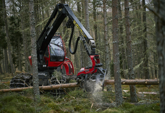
Harvesting timber is a...
The Great Glen Way passes through Allt na Crìche. This 79 mile/127 km waymarked route stretches from Fort William in the south west to Inverness in the north east. The Great Glen Way High through route between Allt na Crìche and Invermoriston is closed for tree felling works until July 2024.
For the latest information on the route visit - https://www.highland.gov.uk/greatglenway/news.
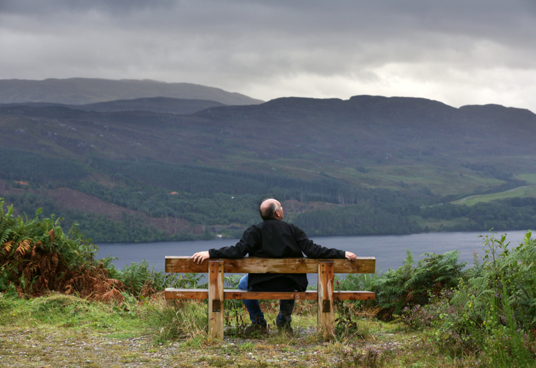
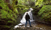
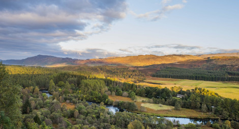
Explore Allt na Crìche for stunning views and a variety of trail options in a hillside forest overlooking Loch Ness. If you’re travelling north from Fort William, this is the first chance to get out into the woodland for lovely views of Loch Ness and the stone towers of Fort Augustus Abbey below.
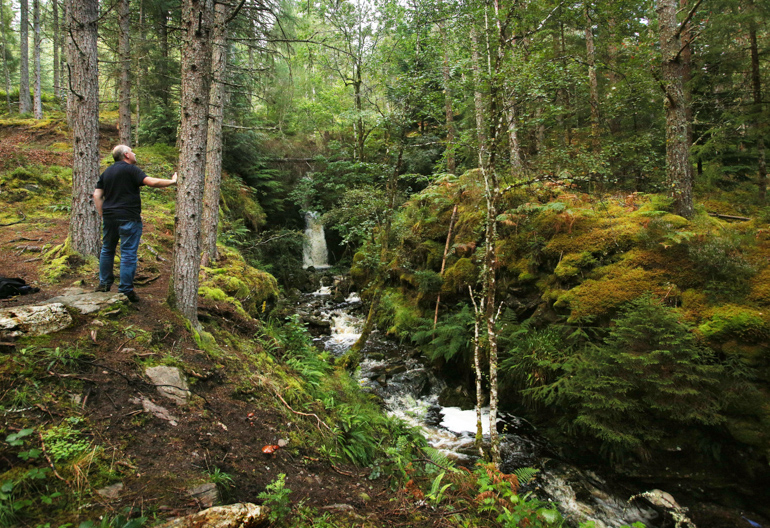
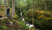
This mixed birch and pine woodland is an ideal home for wildlife including red squirrels, pine marten and red deer.
Allt na Crìche route card (PDF)
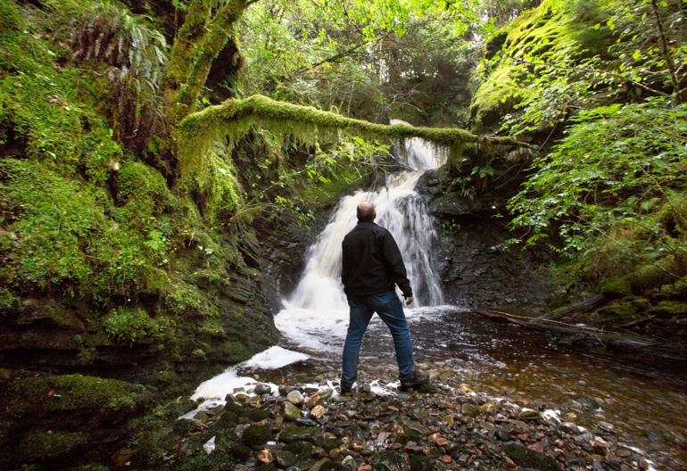
An invigorating climb up the cascades of the Allt na Crìche burn is rewarded with some marvellous views over Loch Ness.
Firm gravel surface with long steep slopes. Includes several sections of stone steps.
Allow 1 hour
Enjoy extraordinary views over Loch Ness.
If you’ve got the time, the Great Glen Way, which stretches 79 miles (127 km) between Fort William and Inverness makes a fabulous multi-day adventure. It’s a rewarding walk, cycle or horse ride, mainly following towpaths and woodland tracks. You can also travel the glen by boat, canoe or kayak.
To find out more visit https://www.highland.gov.uk/greatglenway.
The nearest public toilets and places to eat are in Fort Augustus, about one mile (1.6 km) away.
There is no charge to park in this car park. Please park with care and consideration. In particular please park in designated parking areas only and do not block entrances or gates.
From the centre of Fort Augustus head north towards Inverness on the A82. You'll see the car park signposted on your left, about one mile (1.6 km) from the village.
PH32 4BL is the nearest postcode, a little before you reach the car park heading north on the A82.
The Inverness to Fort William bus service stops in Fort Augustus, about one mile (1.6 km) from the start of the trails. See Traveline Scotland for details of bus services.
Have a question or suggestion for improvement?
A great place for a family picnic and a gentle stroll
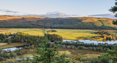
A peaceful woodland with views over the river Oich and the Great Glen
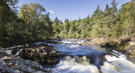
One of Scotland's most beautiful rivers
Tuesday, 07 May 2024
Harvesting timber is a...
Thursday, 25 April 2024
Many don’t realise that Scotland is home to a native apple species, the wild apple (Malus sylvestris). Due to hybridisation, and historically being seen as unimportant the nat...
Thursday, 18 April 2024
An ancie...
Thursday, 11 April 2024
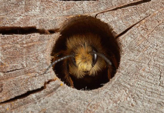
Around 270 species of bees are found in the UK, with nearly 90% solitary species. Some that can be seen in Scotland include the red mason bee, common carder bee and the chocolate mining bee that...