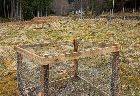
Tuesday, 07 May 2024
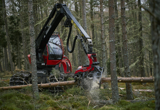
Harvesting timber is a...
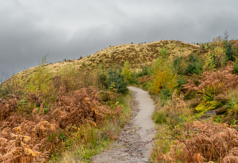
Recent weather events have led to the deterioration of pathways which we will be working to repair. The paths remain open, but please take additional care while walking these trails.
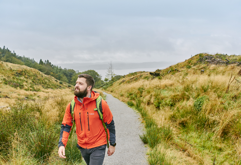
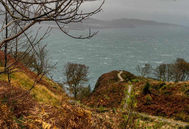
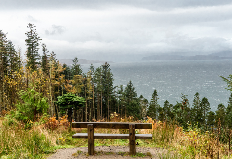
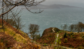
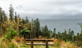
The challenging climb through the varied woods at the foot of Beinn Lora is richly rewarded. The truly panoramic views are among the most memorable in Argyll. From the Eagle’s Eyrie you can look over Benderloch to the Morvern Peninsula, Mull and Lismore.
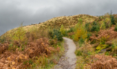
Beyond the forest gate, the route to the summit of Beinn Lora is across open ground and often boggy but well worth the effort.
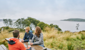
A short pull up the steep craggy hillside above Benderloch yields some great sea views across Tralee Bay and the Lynn of Lorn.
Wide, firm but uneven gravel and earth surface. Long steep slopes with some loose sections.
Allow ¾ hour
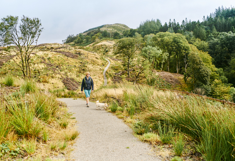
Feel on top of the world at the breath-taking bird’s eye viewpoint on this steep but spectacular trail on the slopes of Beinn Lora.
Long steep slopes for 500m. Wide, firm gravel and stone surface with some uneven and loose sections.
Allow 1½ hours
The breath-taking view from the Eyrie takes in Mull, the Lyne of Lorne, Lismore, the Morven peninsula and the hills north towards Appin. Higher still, at the forest edge, you’ll also see the gate which leads onto the open hill to reach the summit of Beinn Lora.
Our Eagle’s Eyrie trail is also the start of the hill walking path to Beinn Lora. The summit isn’t very high – just 1,010 feet (308m) – but the views over the coast and islands, and back down Loch Etive to the Ben Cruachan range, are well worth the effort! (This is an unmarked route suitable for fit and experienced hill walkers only.)
These trails are also very popular with local hill runners looking for a strenuous workout.
There's a small shop, petrol station and seasonal café in Benderloch.
There is no charge to park in this car park. Please park with care and consideration. In particular please park in designated parking areas only and do not block entrances or gates.
Beinn Lora car park can be found at the south end of Benderloch village, just to the right of the petrol station.
National Cycle Route 78 passes nearby.
PA37 1QN is the nearest postcode.
Regular buses between Oban and Fort William stop in Benderloch. They also stop at Connel, which is the nearest railway station. Find details at Traveline Scotland.
Have a question or suggestion for improvement?
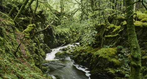
Soaring fir trees, a rocky gorge, waterfalls and stunning views
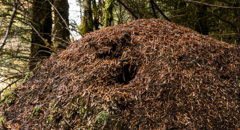
Attractive woodland trail passing the magical woodland ant nests
Secluded old oakwoods teeming with wildlife and history
Tuesday, 07 May 2024
Harvesting timber is a...
Thursday, 25 April 2024
Many don’t realise that Scotland is home to a native apple species, the wild apple (Malus sylvestris). Due to hybridisation, and historically being seen as unimportant the nat...
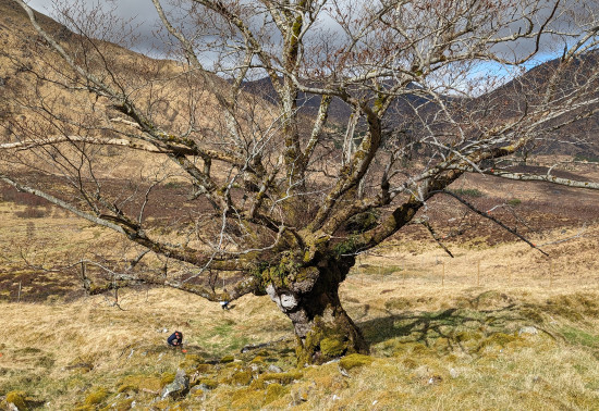
Thursday, 18 April 2024
An ancie...
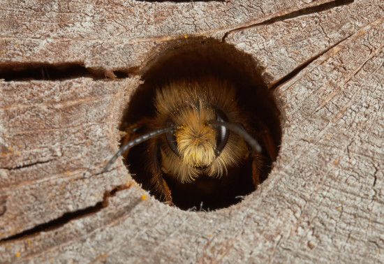
Thursday, 11 April 2024
Around 270 species of bees are found in the UK, with nearly 90% solitary species. Some that can be seen in Scotland include the red mason bee, common carder bee and the chocolate mining bee that...