Tuesday, 07 May 2024
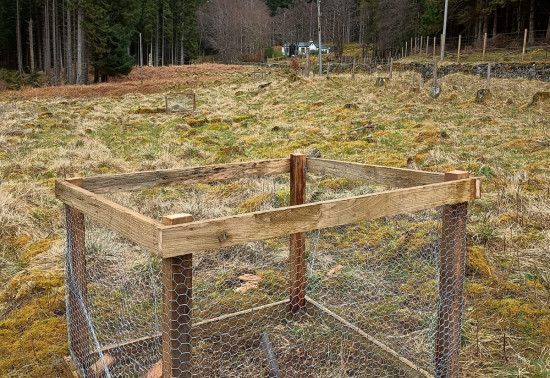
Harvesting timber is a...
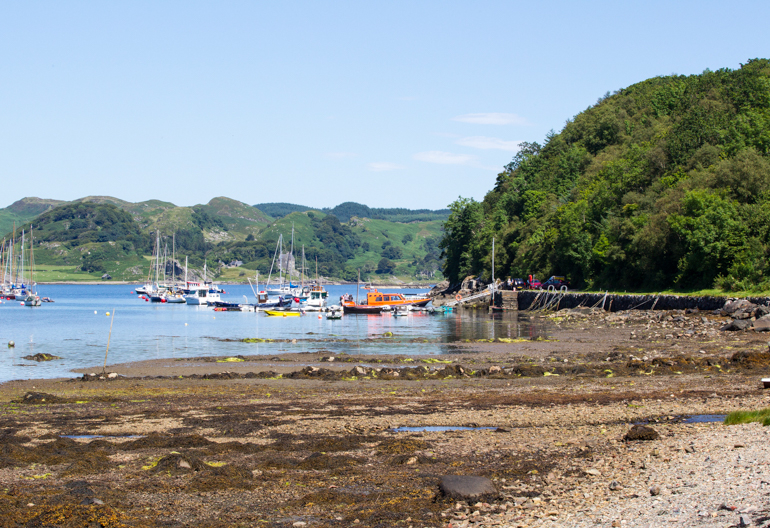
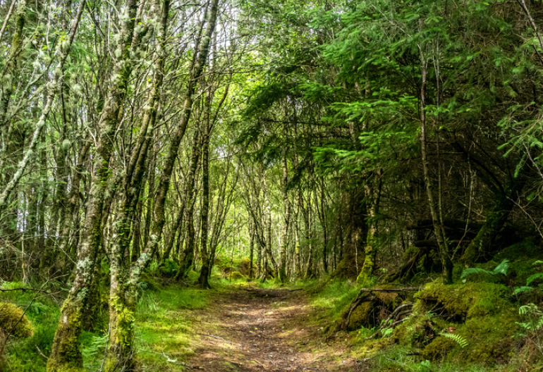
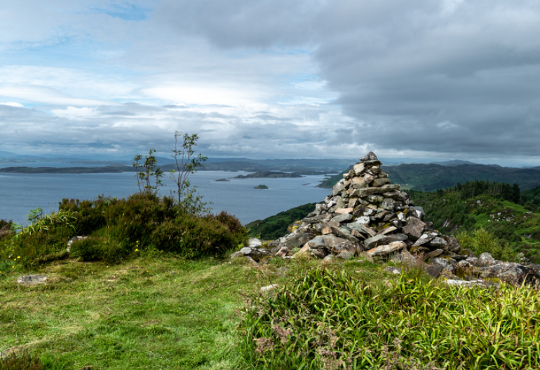
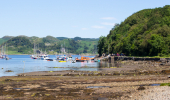
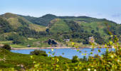
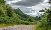
Head to peaceful, picturesque Crinan Harbour to find the start of a steep trail up through Atlantic oakwoods to Castle Dounie, a stone fort on a high rocky knoll. There are panoramic views over the Crinan basin and the Sound of Jura along the way, and on a clear day you even spot distant Ben Cruachan.
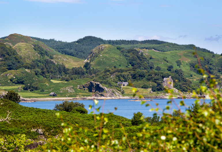
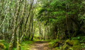
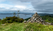
Climb steeply through ash, birch and conifers to the ruined medieval lookout of Castle Dounie. The crag is a stunning pulpit overlooking the Sound of Jura and the Inner Hebrides.
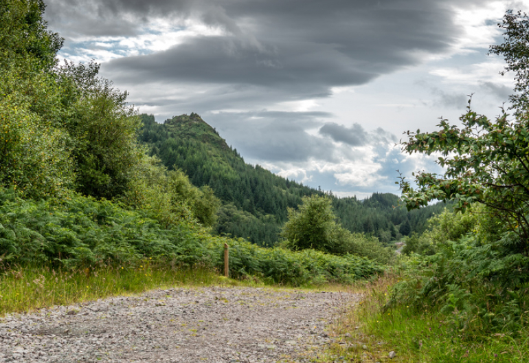
Long steep slopes for 600m, including several sets of rough steps. Uneven gravel surface with narrow, grassy and rough rocky sections. Some parts may be muddy.
Allow 2½ hours
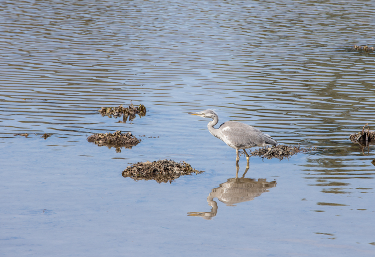
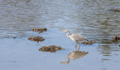
Crinan is a great place to watch for wildlife. The ancient Atlantic oakwoods are host to a huge number of species, including visiting songbirds like redstarts and flycatchers, as well as red squirrels, butterflies and red and roe deer. As you climb higher through planted conifers, look out for buzzards and perhaps even golden eagles circling overhead. There’s also a chance of spotting porpoise and minke whales out at sea.
You’ll find refreshments and public toilets on the quay at Crinan village, at the end of the canal. Learn more about the surrounding area by visiting the Heart of Argyll website.
There is no charge to park in this car park. Please park with care and consideration. In particular please park in designated parking areas only and do not block entrances or gates.
Crinan stands at the end of the B841, north west of Lochgilphead. Head for Crinan Harbour to find the start of the Crinan Trail.
PA31 8SS is the nearest postcode.
There are regular buses between Lochgilphead and Tayvallich, which stop at Crinan. Find details at Traveline Scotland.
Have a question or suggestion for improvement?
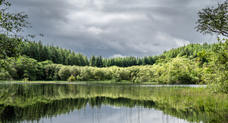
Unique wetland that's home to Scotland's wild beavers
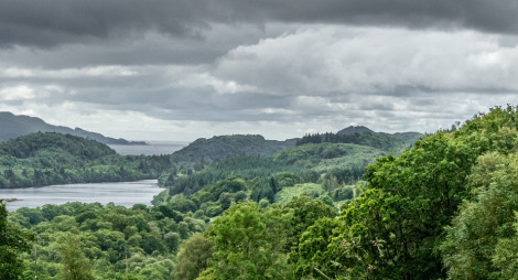
Take an atmospheric stroll in the heart of Knapdale
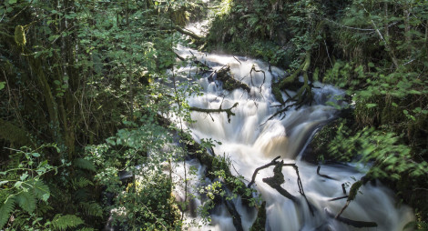
Craggy slopes and a dramatic gorge amongst the trees
Tuesday, 07 May 2024
Harvesting timber is a...
Thursday, 25 April 2024
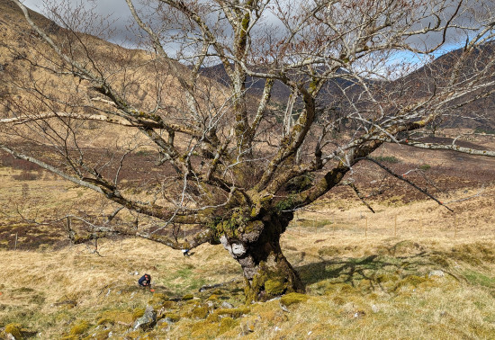
Many don’t realise that Scotland is home to a native apple species, the wild apple (Malus sylvestris). Due to hybridisation, and historically being seen as unimportant the nat...
Thursday, 18 April 2024
An ancie...
Thursday, 11 April 2024
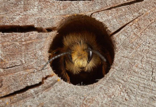
Around 270 species of bees are found in the UK, with nearly 90% solitary species. Some that can be seen in Scotland include the red mason bee, common carder bee and the chocolate mining bee that...