Tuesday, 07 May 2024
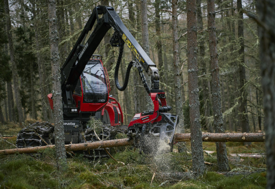
Harvesting timber is a...
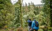
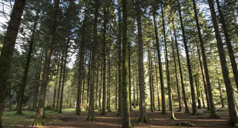
Discover spectacular waterfalls in the lush Allt Robuic gorge, towering conifers and views over Loch Eck in this stunning woodland. The estate was once owned by music hall star Sir Harry Lauder, who sold it to the Forestry Commission in 1921.
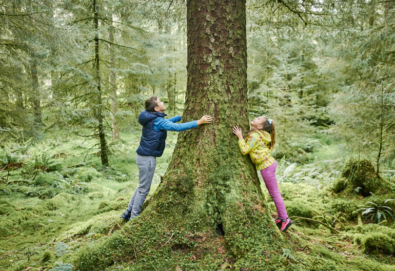
A charming wander through native oak, birch and hazel woodland, and a fine avenue of cypress and beech that was planted for the Glenbranter Estate.
Firm but uneven gravel surface throughout. Includes some steep slopes and a flight of steps.
Allow ¾ hour
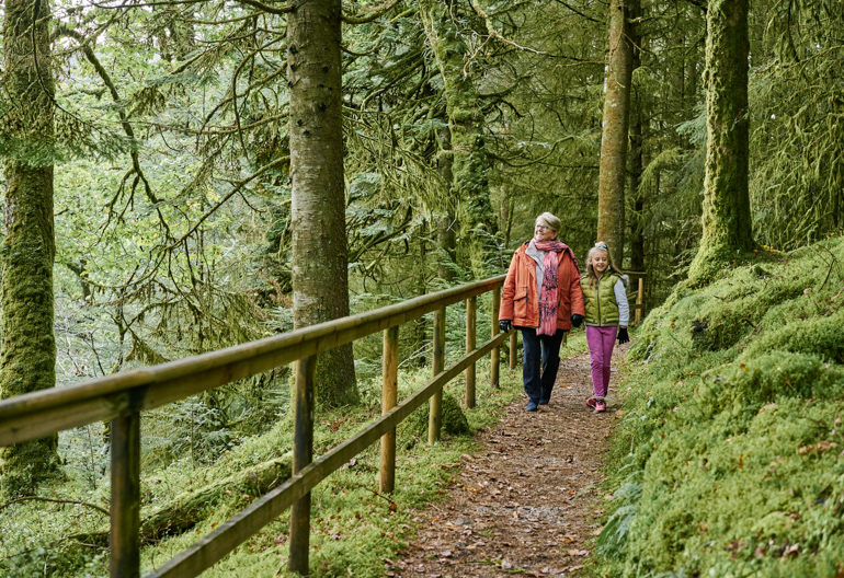
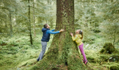
Part of this trail takes you through trees that were planted long ago as a backdrop to the original Estate house. The red squirrels here are some of the most active in the forest: you can often watch them scampering among the branches.
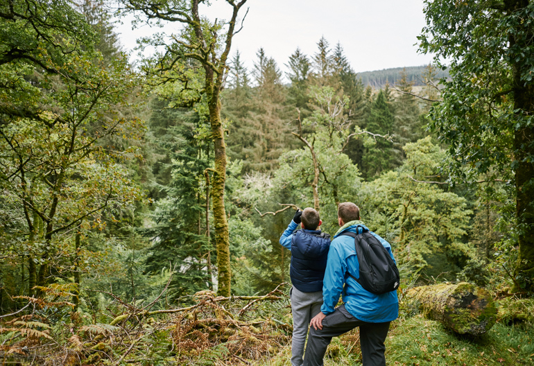
The stiff but rewarding ascent below Creag Bhaogh reveals wonderful views across Glen Eck to Beinn Bheula and Beinn Mhôr.
Long steep slopes for up to 500m. Firm gravel and grassy surface throughout. Includes some short flights of steps.
Allow 1½ hours
Keep an eye out for ravens, crossbills and buzzards.
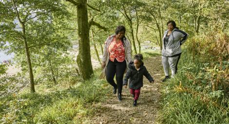
A dramatic route up the Allt Robuic gorge, where native oakwoods cloak a series of spectacular waterfalls.
Uneven gravel paths with exposed tree roots and narrow or muddy sections. Includes a number of steep slopes with flights of uneven steps. Several bridges.
Allow 1½ hours
The banks of the Allt Robuic still hold remnants of ancient oak woodland, and an impressive variety of mosses and liverworts grow in the damp air. Climb a little further up Glenbranter to the waterfalls, which are particularly spectacular after heavy rain. The trail also passes our wildlife hide: rest quietly for a few minutes and you might see red squirrels, roe deer, buzzards, woodpeckers or crossbills.
A gentle taste of the wild – and all the fun of a ford!
Allow 1½ hours
This route gives a fantastic feeling of being much further out in the wilds than you actually are – it’s a great introduction to the delights of off road cycling. You might spot red and roe deer and you can have fun splashing through the ford at the head of the glen. The ride downhill back towards Glenbranter will give you plenty of time to admire the views of Beinn Bheula and Beinn Laggan across the glen.
Firm forest road with some loose material. Soft going in places after heavy rain. Mainly gentle slopes. The ford halfway round can be impassable after heavy rain.
A grand – and demanding – day out, with some of the best views in Cowal.
Allow 6 hours
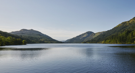
A real treat for those determined (and fit) enough! This circular loop takes you through the forests fringing Loch Eck, which sits in a gully left over from the last ice age and is now the main water source for Dunoon.
Most riders start and finish the loop at Glenbranter, heading clockwise by crossing the A815 and climbing up the forest track at Invernoaden. It’s a sustained climb, better done while your legs are fresh, and the reward is some of the best views in Cowal. You can look down on to Loch Eck, Dunoon and the Clyde, and west to Beinn Mhor. On a clear day you’ll see the west coast and the islands of Jura and Islay.
Mostly forest road, with a short section of the A815 between Glenbranter and Invernoaden and single track sections at Inverchapel and Benmore. Very steep slopes in places.
Take time out at our wildlife hide. Sit quietly and see what forest birds and creatures you can spot.
There are public toilets attached to the Glenbranter Forest Office, where you can also pick up a map. If any staff are in, we'll be happy to offer assistance if you need it.
There is no charge to park in this car park. Please park with care and consideration. In particular please park in designated parking areas only and do not block entrances or gates.
Glenbranter is signposted from the A815, between Strachur and the north end of Loch Eck.
PA27 8DJ is the nearest postcode.
Buses between Dunoon and Strachur pass the entrance to the forest. Plan your journey at Traveline Scotland.
Have a question or suggestion for improvement?
A picturesque picnic spot with lochside views
Glorious waterfalls at the head of a secluded glen
Cowal's longest sandy beach
Tuesday, 07 May 2024
Harvesting timber is a...
Thursday, 25 April 2024
Many don’t realise that Scotland is home to a native apple species, the wild apple (Malus sylvestris). Due to hybridisation, and historically being seen as unimportant the nat...
Thursday, 18 April 2024
An ancie...
Thursday, 11 April 2024
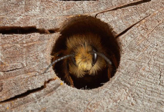
Around 270 species of bees are found in the UK, with nearly 90% solitary species. Some that can be seen in Scotland include the red mason bee, common carder bee and the chocolate mining bee that...