Thursday, 25 April 2024
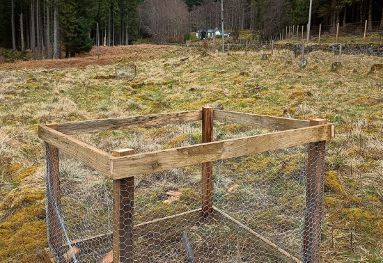
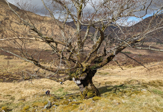
Many don’t realise that Scotland is home to a native apple species, the wild apple (Malus sylvestris). Due to hybridisation, and historically being seen as unimportant the nat...
Strathyre's name comes from the Gaelic Strath Cor, interpreted as 'broad winding valley', which describes the surrounding landscape perfectly. Start exploring this quiet wooded glen from the car park and picnic site in the village or head for the southern end of tranquil Loch Lubnaig to find trails at Ben Ledi and the Strathyre Cabins.
This area is steeped in Scottish history and many stories abound, especially of Rob Roy MacGregor, notorious 18th century outlaw and local legend. Visit his grave at the peaceful kirkyard at Balquhidder.
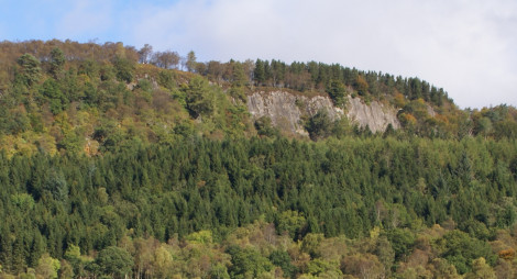
Follow the busy Tighanes Burn up through the Scots pine past waterfalls for fine views across to Ben Vane and the Braes of Balquhidder.
Long steep slope for 400m. Narrow earth and grass paths with muddy sections. Includes one bridge and a road crossing.
Allow 1½ hours
This is a great walk for spotting wildlife – look out for red squirrels and deer, particularly early in the morning, and listen for shrieking jays and the mewing of buzzards overhead. There’s the option to extend the route by diverting on the descent onto the Coille MacCaskill Path. This grove is an excellent example of a native pinewood and is dedicated to Don MacCaskill, a local forester and naturalist. This trail starts from Strathyre village car park.
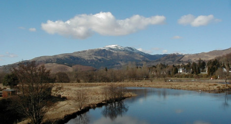
Strathyre also offers a great hill walk to the An Sidhean viewpoint at 546m which is signposted through the lower woods before continuing to the open hill (you can reach the true summit of Beinn an t-Sidhean by crossing the moor). It is an up and down linear walk of 4.25 miles / 6.75km and takes approximately 2.5 – 3 hours. A brilliant alternative to Ben A’an if you are looking for a quieter option, this route provides stunning views across Loch Lubnaig and the Southern Highland’s mountain peaks of Ben Ledi, Ben Vane, Ben Vorlich, Ben More, Stob Binnein and beyond. There are also a couple of fine stops along the way that provide excellent views if you are looking for a slightly shorter walk.
The route is not waymarked, so you will need to take a map and compass with you. Find out more about the route at WalkHighlands.
Take full advantage of the dramatic landscape and variety of activities that this area has to offer by staying at Strathyre Cabins, about 6 miles (10 km) south of the village on the tranquil western shore of Loch Lubnaig. There’s plenty to see and do, including fishing, archery and a children’s play area. You can book bikes and canoes here too.
National Cycle Route 7 winds through the glen and links Killin and Callander. This section follows the route of the old railway line, originally built in 1880 to link Glasgow to Oban and closed in 1965. If you haven’t brought your own bike, you can hire one at Strathyre Cabins.
Lochs Lubnaig and Voil provide opportunities for scenic open water canoeing. You can hire canoes at Strathyre Cabins. Advanced kayakers can challenge themselves in spate conditions at Monachyle Burn at the head of Loch Voil and at Calair Burn south of Balquhidder village.
There is a café, a shop and a hotel in Strathyre. The nearest public toilets are in Callander.
There is no charge to park in this car park. Please park with care and consideration. In particular please park in designated parking areas only and do not block entrances or gates.
Our car park at Strathyre is on the west side of the main road (A84) at the very south of the village.
National Cycle Route 7 winds through the glen, linking Killin and Callander.
FK18 8NJ is the nearest postcode.
Buses between Callander and Killin stop at Strathyre village. Plan your journey at Traveline Scotland.
Have a question or suggestion for improvement?
Lochside cabins beneath the peaks of Ben Ledi
Climb the Trossachs' highest summit
Panoramic views of both the Highlands and the Lowlands
Thursday, 25 April 2024
Many don’t realise that Scotland is home to a native apple species, the wild apple (Malus sylvestris). Due to hybridisation, and historically being seen as unimportant the nat...
Thursday, 18 April 2024
An ancie...
Thursday, 11 April 2024
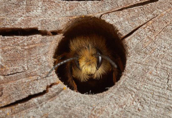
Around 270 species of bees are found in the UK, with nearly 90% solitary species. Some that can be seen in Scotland include the red mason bee, common carder bee and the chocolate mining bee that...
Thursday, 04 April 2024