Tentsmuir Land Management Plan
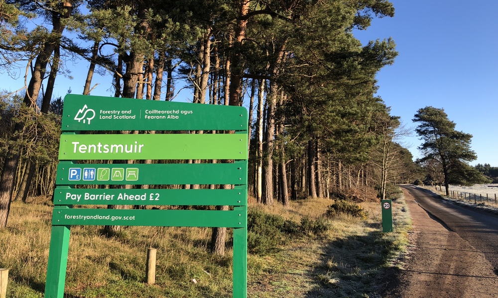
Tentsmuir is situated on the north-east coast of Fife between St Andrews and Tayport. The Land Management Plan area covers 1573 hectares and comprises the northern block of Tentsmuir Forest (including Morton Lochs) and the smaller Reres Wood to the south.
Most of the land was acquired by the Forestry Commission in the 1920s and planted predominantly with Scots pine and Corsican pine. There are still a few sites where the first rotation of pines planted between 1922 and 1925 have been retained. Much of the forest is managed using a continuous cover forestry approach.
In addition to commercial forestry, careful management has created an interesting mixture of open space, ponds, trees and sand dunes that are rich in wildlife and popular for recreation. The coastline surrounding the forest also has a number of local, national and international designations which influence the management of the forest. The site and the coastline also contain a number of heritage features and Scheduled Monuments, including numerous World War II coastal defences.
The revised land management plan will include the areas affected by Storm Arwen in 2021 along the north coast of Tentsmuir and Morton Lochs. The harvesting of these sites has now been completed and we are currently consulting on their future restocking and management as part of the wider land management plan review taking place. More information is provided in the section on scoping and consultation below.
Timeline
- June 2022: the present Land Management Plan expired
- Winter 2022/23: initial scoping and consultation (see below)
- Spring/ Summer 2024: three month formal plan consultation period (see below)
Scoping and consultation
The initial scoping and public consultation closed on Monday 23 January 2023. Thank you to everyone who provided feedback and completed the survey. A summary of the results of the survey is available with the consultation documents below.
The second consultation stage is now open and will run until Friday 30 August 2024. Please refer to the brief and maps in the section below. You can provide feedback via the form on this page, or by email to the address at the bottom of this page.
We are also holding two drop in events for anybody wishing to come along and find out more about the plan. These will be held at the Larick Centre in Tayport, and will be held jointly with NatureScot, on the following dates:
- Tuesday 4 June 2024: 4pm - 7pm
- Saturday 8 June 2024: 10am - 1pm
The Larick Centre, Shanwell Road, Tayport DD6 9EA
Documents and maps
- Background and context document (PDF)
- Location map (PDF)
- Designated areas map (PDF)
- Initial public scoping report 2023 (PDF)
Consultation 2024
- Tentsmuir LMP Brief 2024 (PDF)
- Map 1 - Tentsmuir overall context and issues (PDF) | Map 1 - Accessible text (PDF)
- Map 2 - Tentsmuir concept (PDF) | Map 2 - Accessible text (PDF)
- Map 3 - Management coupes (PDF)
- Map 4 - Future species and habitats (PDF) | Map 4 - Accessible text (PDF)
- Map 5 - Visitor services and recreation (PDF) | Map 5 - Accessible text (PDF)
Consultation feedback form
Get in touch
If you would like further information or would like to submit feedback on this plan, please contact us at:
Forestry and Land Scotland
Inverpark
Dunkeld
Perthshire
PH8 0JR